Introduction
Data & Insights Catalog Connectors allows administrators to connect assets from a public ArcGIS Server or from another data catalog (e.g. ArcGIS Online, CKAN, etc) using a data.json connection to their Data & Insights catalog.
All assets federated to a Data & Insights catalog via the Catalog Connector are public by default. Through the daily syncing cycle, assets connected through the data.json connector will be made public, meaning data.json connected assets that are made private will reset to public after each sync.
For additional information on setting up and managing ESRI ArcGIS connections please see ESRI Asset Federation and Data Connections.
Setting up a New Connection
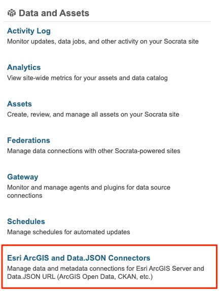
In order to set up Catalog Connector for ArcGIS, an Administrator or Publisher will navigate to the Esri ArcGIS and Data.JSON Connectors page within the Administration Panel on your Data & Insights site.

From the Connectors page, select the “Add New” button in the top right-hand corner. This will take you to the page where you will initially add the connection to your ArcGIS Server or external data catalog.

To add a connection, select the appropriate Connector type, the URL of the source, and the Display name for the connector.
Important Notes:
1. A data.JSON endpoint is typically available at https://yourdatasite.gov/data.json. Check with your external data catalog provider to confirm this. All data.json feeds are validated against Project Open Data's metadata standards.
2. We currently do not support the ability to federate datasets between Data & Insights platforms using data.json connectors.
3. If setting up an ArcGIS connection, ensure that you are entering the root address of a public Arc Server.
After saving, you’ll be taken back to an updated Connectors page where you’ll see a success message and indication that the process for Data & Insights to sync with your ArcGIS Server or external catalog has begun.
If instead of a success message, you see an error, please make the required adjustments and re-save.
Once successful, the syncing process can take a few minutes or possibly up to a few hours (depending on the volume of external data/metadata to be federated). Note: Each data-connected asset will take time proportional to the number and size of features on that asset.

If the process takes longer than expected or you are not able to configure the connection successfully, please contact our Support team by emailing, datainsights-support@tylertech.com
Managing Connections
After the connection is configured, you’ll find the list of current connections on your "Manage Connectors" page. Each listing indicates the name and source domain, the number of assets that Data & Insights discovered, the number of assets that are currently connected to your catalog, and the current status of your connected assets.

- Discovered assets is the number of assets that Data & Insights found on your ArcGIS Server the last time a check for updates occurred.
- Connected assets is the number of assets that are federated to your public Data & Insights catalog.
- Current Status indicates the current status of all connected assets.
For each connection, you have the option to “edit” the connection and select layers to federate or to “terminate” the connection completely.
You can use the “Add new” button to add connections to more ArcGIS Servers or data.JSON endpoints at any point.
Fields in Data.JSON
The fields we pull from the data.json feed are: Name, Description, attributionLink, rowLabel, tags, permissions, and all Common Core 1.1 required fields and required-if-applicable fields, which are listed here.
These fields as well as other metadata can be updated on assets in a data.json connection, you can read more about this at Managing Metadata for data.json Federated Datasets.
Comments
Article is closed for comments.